

Lake Oroville State Recreation Area surrounds Lake Oroville near Oroville, California, and offers boating, camping, and trails for hiking, biking and horseback riding. The reservoir was formed by Oroville Dam, which rises 770 feet above the Feather River streambed.
- Setting: recreation areas around Lake Oroville.
- Activities: boating, camping and equestrian, bicycle and hiking trails.
- Day-use hours: from 8 a.m. to sunset.
- Vehicle day-use fee: $8.00.
Prices and times checked November 2026.
Where is Lake Oroville State Recreation Area?
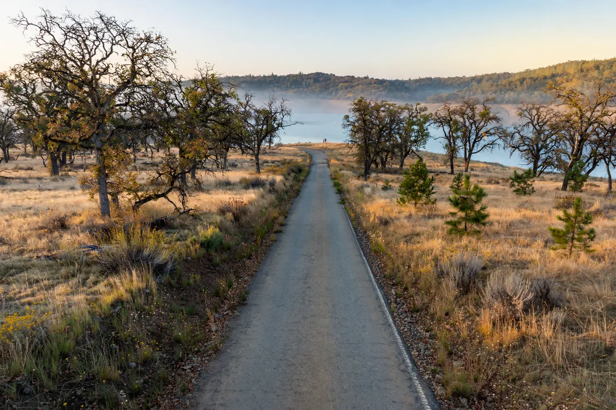
The recreation area surrounds Lake Oroville, with access points and facilities around the reservoir. For the Visitor Center, use the address of 917 Kelly Ridge Road, Oroville, CA 95966; it can be reached at (530) 538-2219.
From Highway 70, take Highway 162, also called Oroville Dam Boulevard, and continue to Olive Highway. Travel approximately 6 miles to Kelly Ridge Road and turn left; the road ends at the Visitor Center parking lot.
How can you enjoy Lake Oroville?
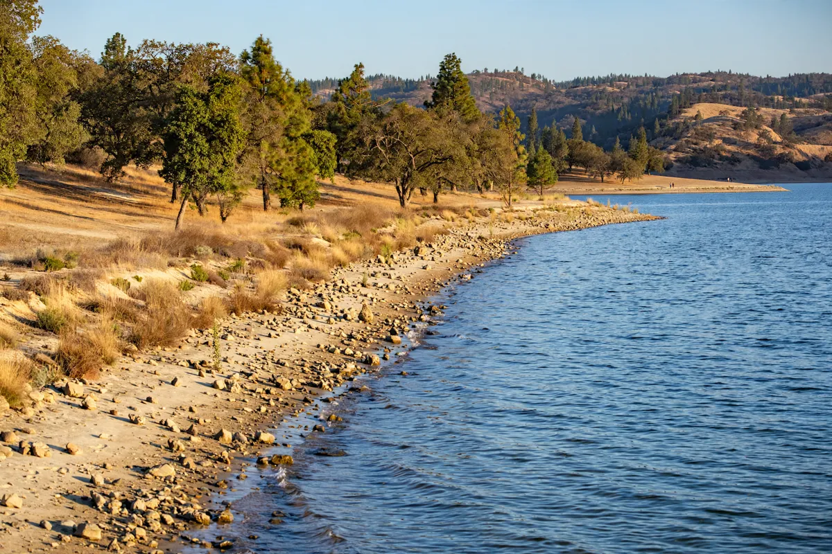
Lake Oroville recreation includes boating and a range of trails, while campgrounds offer another way to spend time in the area. Trail uses vary: some routes allow horses as well as hikers and cyclists, while one segment near the Spillway Day-Use Area is pedestrian-only and ADA accessible.
For context on the structure that created the reservoir, the Oroville Dam visitor guide covers dam access and viewpoints.
Which access points and facilities are available?
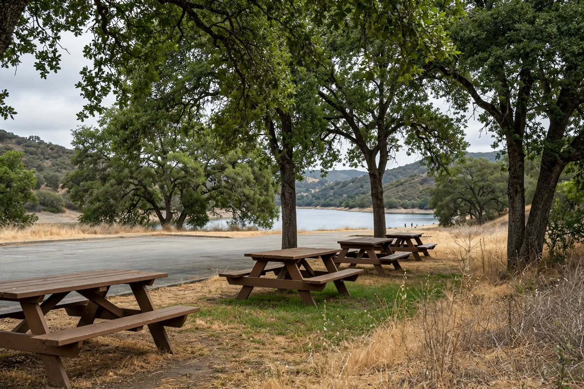
The Spillway Day Use Area sits on the northwest side of Oroville Dam near the boat launch lanes. Access involves passing a security screening kiosk and a visitor information and fee collection booth.
At the Spillway, you’ll find drinking water, a fish cleaning station, six picnic tables with shade trees and sun shelters, and six flush toilets, including two ADA-accessible toilets. The upper parking lot has more than 300 vehicle-and-trailer spaces, plus 130 spaces for single vehicles.
Thermalito Forebay South is another access point, with a parking lot, a four-lane boat launch ramp, picnic tables, a sandy beach and chemical toilets.
What should you know about boating and water access?
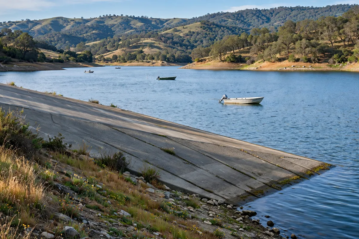
The Spillway Boat Ramp’s available lanes depend on lake elevation: it has 12 lanes available to elevation 821 feet, eight to 734 feet and two to 700 feet.
Lake Oroville launching access is available 24 hours a day, every day, but ramp status can change with water level. For confirmation, call the Northern Buttes District Office at (530) 538-2200.
What are the fees, rules and seasonal checks?
Vehicle day use costs $8.00, a boat launch costs $5.00, and a vehicle day-use and boat-launch combination costs $13.00. Special rates may apply during peak season, high-demand holidays and weekends, and prices may change without notice.
Campgrounds are open 24 hours a day. Dogs are allowed only in parking lots, on paved roadways and in campgrounds; they are not allowed on trails or day-use areas. Access arrangements at the Spillway can vary with lake conditions. Before you go, check the official site before you go, including California State Parks’ current information on fees and access.
How do you plan a visit from Oroville?
Use the Highway 70 approach via Highway 162 and Olive Highway if you’re heading to the Visitor Center and Kelly Ridge Road. At the lake, choose an access point based on your plans: the Spillway has picnic facilities and a boat ramp, while Thermalito Forebay South has a sandy beach and a four-lane launch ramp.
The recreation area is about 5.0 miles from Sunset Inn, a motel in Oroville.
FAQs
What activities are available at Lake Oroville?
You can go boating, camp, and use trails for hiking, biking and equestrian activities. Access and permitted trail uses vary by location.
When are Lake Oroville day-use areas open?
Day-use areas are open from 8 a.m. to sunset. Check California State Parks’ official information before heading out, as access details can change.
Can you launch a boat at Lake Oroville?
Yes. Launching access is available 24 hours a day, but ramp status can change with water level. Call the Northern Buttes District Office at (530) 538-2200 to confirm conditions.
How do you get around Oroville?
The guide to driving, walking and local travel in Oroville covers ways to get around town.