

Getting around Oroville means choosing between walking around its historic downtown and driving to destinations such as Lake Oroville. The city sits in the Sacramento Valley at the base of the Sierra Nevada foothills, and downtown brings together local businesses and civic landmarks.
- Downtown is about 18 minutes on foot from Sunset Inn Lake Oroville.
- Downtown has free on-street and off-street parking.
- The Lake Oroville Visitor Center is reached via Highway 162 and Kelly Ridge Road.
- Vehicle day use costs $8.00, and boat launch costs $5.00.
Prices checked November 2026.
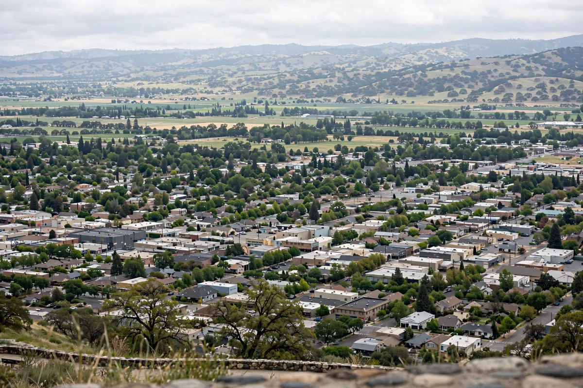
How Oroville is laid out
Oroville’s historic downtown is its commercial core, while Lake Oroville attractions sit beyond the central area and are best approached by road. Downtown is a walkable neighborhood with a riverfront trail, eateries, boutiques, museums, City Hall and the Butte County Office of Education.
From the hotel, downtown is about 18 minutes on foot or 2 minutes by car. The Oroville Chinese Temple is about 15 minutes on foot or 3 minutes by car. For temple details and visiting context, read the Oroville Chinese Temple visit guide.
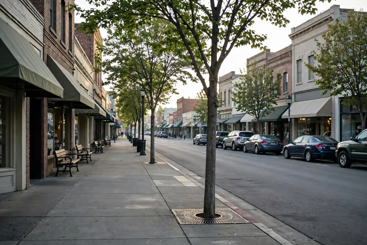
Walking around central Oroville
Downtown Oroville is walkable, with a riverfront trail, eateries and boutiques grouped in the historic commercial core. You can pair a walk through the central neighborhood with the Oroville Chinese Temple, which is about 15 minutes on foot from the hotel.
For a day focused on downtown, walking can connect these central destinations without moving the car between them. The hotel also offers guest rooms at this Oroville inn.
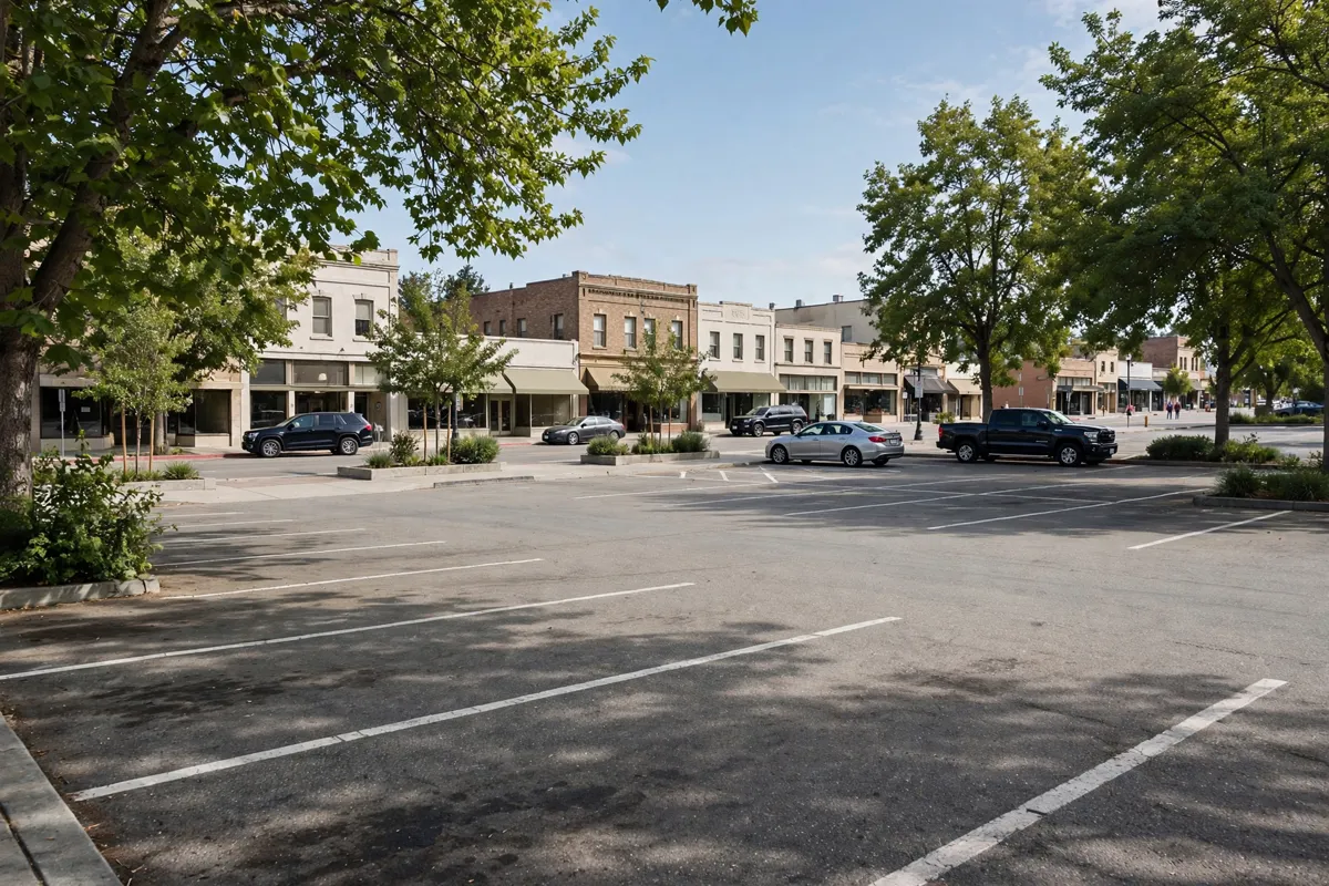
Driving and parking
Driving is useful for reaching attractions outside downtown, while free on-street and off-street parking makes arriving by car practical in the central area. Downtown has two large free parking lots, one on either side of the district.
Parking rules and facility details can change. Before heading into town, check the City of Oroville’s official site for current downtown parking guidance.
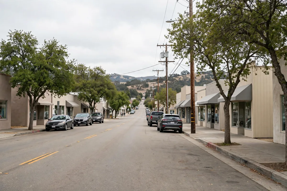
Local public transportation
This guide focuses on walking and driving; it does not include a confirmed local public transportation option. If your plans depend on transit, check with the City of Oroville for current service information before setting out.
Reaching Lake Oroville attractions
Driving is the practical way to reach the Lake Oroville Visitor Center and recreation areas from downtown Oroville. California State Parks directs drivers from Highway 70 east on Highway 162 (Oroville Dam Boulevard), then right at Olive Highway (Highway 162), continuing about 6 miles to Kelly Ridge Road.
The Visitor Center has accessible parking, with two accessible spaces in front and two behind the building. Nearby, the Chaparral Interpretive Trail is an accessible 0.20-mile loop; the North Forebay and North Forebay Loop Trails together provide 1.62 miles of accessible trails with beach access and waterfront hiking.
For access and activities around the lake, the Lake Oroville State Recreation Area guide covers the area.
Vehicle day use costs $8.00, boat launch costs $5.00, and the combined vehicle day-use and boat-launch fee is $13.00. Special rates may apply during peak season, high-demand holiday periods and weekends, and prices may change without notice. Launch ramps can also change with water levels, so check the official site before you go.
Choosing transport for your plans
Choose walking for downtown stops and driving for Lake Oroville facilities beyond the central area. If you are arriving by air, the drive from Sunset Inn Lake Oroville is about 65 minutes from Beale Air Force Base, 70 minutes from Sacramento International Airport, 46 minutes from Yuba County Airport, and 73 minutes from Red Bluff Municipal Airport.
For a downtown-focused visit, leave the car parked and explore the walkable core. For the Visitor Center, trails or boat launch, plan a drive and confirm current access details with California State Parks before you go.
FAQs
Is downtown Oroville walkable?
Yes. Downtown is a walkable neighborhood with a riverfront trail, eateries and boutiques.
Is parking free in downtown Oroville?
On-street and off-street parking is free throughout downtown. Check the City of Oroville’s official site for current rules.
How do you reach the Lake Oroville Visitor Center?
Drive via Highway 162 (Oroville Dam Boulevard), then Olive Highway to Kelly Ridge Road. California State Parks provides the route and current access information.
Can you visit Lake Oroville without a car?
The route information here is for driving, and no local public transportation option is confirmed here. Check with the City of Oroville for current transit information if you need it.