

Sacramento International Airport (SMF) is a practical arrival point for Oroville: it sits south of the city, and the drive from Sacramento to Oroville takes about 1 hour. You can drive north toward Oroville or check bus connections before you travel.
- Location: SMF is 60 miles south of Oroville.
- Driving context: The Sacramento-to-Oroville drive covers 66 miles.
- Public transport: B-Line serves the Greater Oroville area, and a Capitol Corridor connecting bus serves Oroville.
- Airport pickup: SMF has on-airport rental-car companies and an inter-terminal shuttle serving the rental-car facility.
Times checked November 2026.
Is Sacramento Airport a practical arrival point?
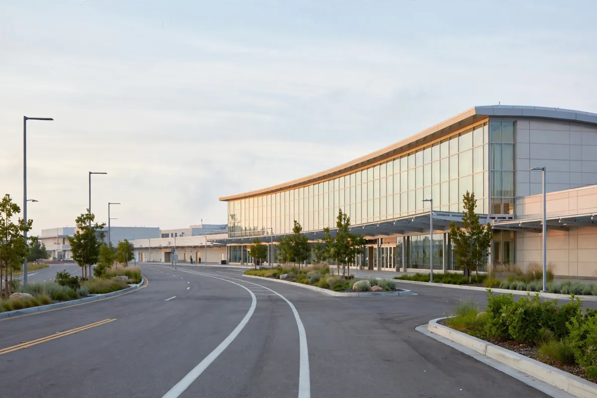
Yes, SMF is a workable starting point if you plan the onward trip to Oroville, which lies north of the airport in Butte County. The airport is 60 miles south of Oroville, and Sacramento is approximately 65 miles south of the city.
Oroville is positioned off Highway 70, near Highway 99. That makes a northbound road journey a clear option, while bus services offer another route to investigate if you are not driving.
How do you drive from SMF to Oroville?
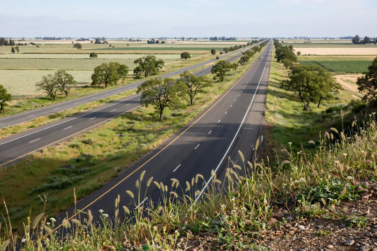
The drive from Sacramento to Oroville covers 66 miles and takes 1 hour. That is the city-to-city leg, not a door-to-door airport journey. Allow for the drive from the airport to Sacramento’s northbound route and for conditions on your travel day.
Directions from the Oroville Chamber to Lake Oroville describe taking I-5 north, US 99 north, then Highway 70 north toward Oroville. Those directions continue to Lake Oroville, so use them as a broad route sequence rather than turn-by-turn directions to a specific address.
Once in the area, Oroville is near Highway 99 and off Highway 70. Check your destination’s address against your chosen navigation directions before setting off.
What airport pickup options are available?
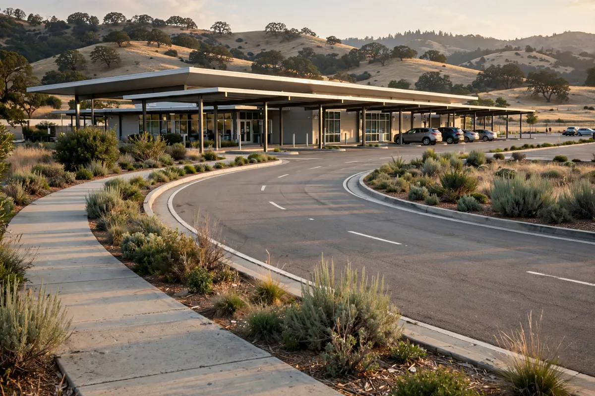
SMF has three on-airport rental-car companies operating 12 brands, and an inter-terminal shuttle serves airport locations including the consolidated rental-car facility. If you book a rental car, confirm its pickup instructions with the provider before you travel.
Uber, Lyft and Wingz provide airport ground transportation. Turo is a peer-to-peer car-share option. Confirm pickup arrangements and fares with your chosen service.
Can you take public transport to Oroville?
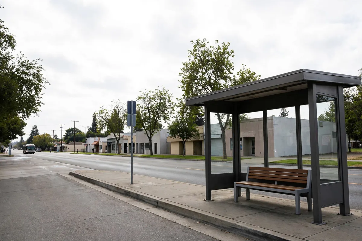
Yes, bus services provide leads for a public-transport journey, but you should verify the connections and departure times for your travel day. Butte Regional Transit’s B-Line serves most residents in the Greater Oroville area and operates seven days a week.
The Capitol Corridor connecting bus serves Oroville on its Sacramento–Chico/Redding route. Greyhound also provides service to and from the city. Check the operators’ schedules to see how these services fit your airport arrival and onward connection.
B-Line makes its full printable bus schedule book available through its schedule page. Oroville service starts at 5:50 a.m. Monday through Friday. Check the official site before you go; for bus information, consult B-Line and the Capitol Corridor, and for airport arrangements, consult SMF.
What should you know when arriving in Oroville?
Oroville is in Butte County, California, near Highway 99 and off Highway 70. If you are arriving by bus, confirm the stop and your onward transportation with the bus operator; if you are driving, use your final address to guide the last part of the trip.
For local movement after arrival, the city centre is about 18 minutes on foot or 2 minutes by car from Sunset Inn Lake Oroville.
The Oroville Chinese Temple is about 15 minutes on foot or 3 minutes by car from the same hotel. A guide to getting around Oroville by car, on foot and by local transport covers those options.
Which route should you choose?
Driving is the most direct option: the Sacramento-to-Oroville journey covers 66 miles and takes 1 hour. If you would rather not drive, investigate B-Line, Greyhound and the Capitol Corridor connecting bus, then confirm how each service connects with your arrival at SMF.
For a hotel-based trip, Sacramento International Airport is about 70 minutes by car from Sunset Inn, a hotel in Oroville. Compare that journey with your flight arrival and your planned transport into the city when choosing your route.
FAQs
How far is Sacramento International Airport from Oroville?
SMF is 60 miles south of Oroville. The drive from Sacramento to Oroville covers 66 miles and takes 1 hour.
Does public transport serve Oroville?
B-Line serves most residents in the Greater Oroville area and operates seven days a week. Greyhound and a Capitol Corridor connecting bus also serve Oroville; check the operators for current schedules.
Does SMF have rental cars and rideshare services?
SMF has on-airport rental-car companies, an inter-terminal shuttle serving the rental-car facility, and Uber, Lyft and Wingz among its ground-transportation providers. Turo is also a peer-to-peer car-share option.
What route leads north toward Oroville?
Directions from the Oroville Chamber toward Lake Oroville describe I-5 north, US 99 north and then Highway 70 north toward Oroville. The directions continue to Lake Oroville, so use them as general route context.